Mining
Isatis.neo
Webinars

Access our white papers, client cases, webinars, and technical content to deepen your use of applied geostatistics.
Resource type
Application fields
to download

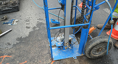
Geotechnical parameters like CPT resistance depend on which stratigraphic layer they sit in, so modeling them without anchoring to the stratigraphy risks getting both the estimate and its...
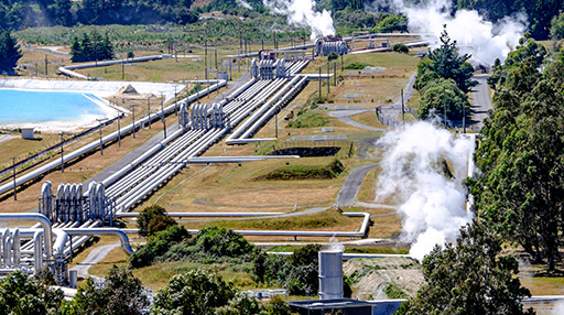
LIAG researchers are refining the country's national temperature model — long trusted for deep geothermal assessment — to finally deliver the resolution shallow geothermal projects need.
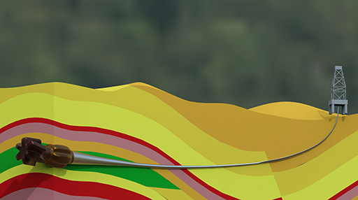
This technical paper presents an integrated stochastic workflow for frontier petroleum exploration, combining geostatistical methods such as Bayesian kriging with external drift and multiple-realization simulation. The approach generates...

Buried paleo-channels are a hidden hazard for offshore wind turbines, invisible between sparse 2D seismic lines, but capable of undermining foundation stability. This study compares multiple-point statistics (using...
Which method actually predicts soil strength best between widely spaced CPTs? This study, co-authored by Geovariances, pits seven methods — from simple inverse distance weighting to kriging variants...
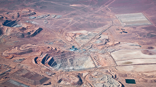
This technical paper explores the complementary use of geostatistics and machine learning for mineral resource modeling, particularly when complex categorical variables make traditional geostatistical workflows difficult to manage....
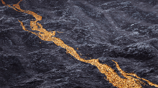
Vein-type gold deposits are notoriously hard to model: narrow, long-range structures with sparse drill-hole data defeat conventional two-point geostatistics. This study from Nazarbayev University and the University of...

This technical paper compares ordinary and universal kriging for mapping the May 2021 Water Elevation Surface in California using measurements from 160 piezometers. The study addresses non-stationarity, zonal...
Before construction begins on a nuclear power plant site, engineers need to know: could loose sand lenses hidden in dense tertiary sands liquefy under load? This study by...